
🌍🌳Unveiling the Drivers of Deforestation in Africa: Insights from a Landmark Study🔍
The study reveals that small-scale cropland is the primary driver of deforestation across Africa, with hotspots in Madagascar and the Democratic Republic of Congo.
🌍 Understanding Land Use Post-Deforestation
A groundbreaking study titled "Mapping the Diversity of Land Uses Following Deforestation Across Africa" (Masolele et. al. 2024) offers the first high-resolution, continental-scale mapping of land use following deforestation. This research leverages deep learning and active learning frameworks to predict land use with remarkable accuracy, highlighting the urgent need for detailed and actionable data to combat forest loss.🌳
🗺️Significance of Detailed Mapping
The decline of African forests due to human activities poses significant threats to biodiversity, climate stability, and local communities. Traditional deforestation data often lack the necessary spatial and temporal resolution for effective decision-making. This study addresses this gap by providing high-resolution (5 m) maps that detail the diverse land uses following deforestation, making it a crucial tool for policymakers and conservationists.
What could be the impact of such detailed mapping on conservation efforts in Africa?
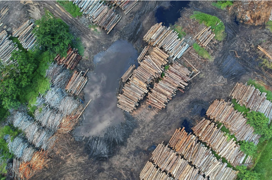
🔍Current Trends in African Deforestation
The study reveals that small-scale cropland is the primary driver of deforestation across Africa, with hotspots in Madagascar and the Democratic Republic of Congo. Additionally, commodity crops like cacao, oil palm, and rubber dominate deforestation in the humid forests of western and central Africa, while cashew is increasingly prevalent in the dry forests of western and southeastern Africa.
Which deforestation driver do you think is the most challenging to address?
🌱Actionable Insights for Combating Deforestation
By using an active learning framework and deep learning models, the study achieves an impressive F1-score, indicating high accuracy in classifying land use. This level of detail allows for targeted interventions, such as focusing conservation efforts on identified hotspots and developing policies that address specific drivers of deforestation.📊
Key takeaway: Detailed and accurate mapping can lead to more effective and focused conservation strategies, ensuring that resources are directed where they are needed most.
How can policymakers best use this data to combat deforestation?
🔓Open Data & Code
Central to this study is the use of opendata, which enhances transparency and collaboration. The satellite data can be accessed here. The interactive map can be found here.📂
Interested in exploring the data further? Check out the resources and join the conversation!
Author Profiles
SItohan-Osa Abu on ResearchGate
Jan Verbesselt on ResearchGate