Can We Track Hawaiian Forests From Space?🛸
Let’s explore how satellites and field workers help us monitor these vital ecosystems and why this matters for global reforestation efforts.
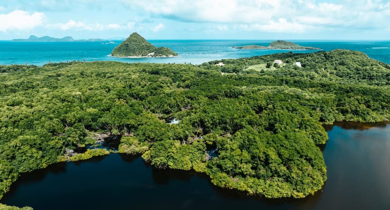
Why Hawaiian Dry Forests Need Our Attention 🌎
Tropical dry forests are some of the most endangered ecosystems on the planet, and Hawaii’s dry forests are no exception. These fragile ecosystems have been steadily disappearing, and less than 10% of the original native Hawaiian dry forest remains. With threats from invasive species, wildfires, and climate change, restoring these forests has become a priority for conservationists.
But how do we track whether these restoration efforts are working? That’s where monitoring comes in! 🌍 Using Landsat imagery, Dimson et. al. (2024) found that Hawaiian dry forests are greening—even though the region is getting drier overall. 🌧️ Let’s explore how satellites and field workers help us monitor these vital ecosystems and why this matters for global reforestation efforts.
Why This Matters: Hawaii’s Forests are Greener, But There’s More to the Story 🍃
Satellite data shows that dry forests in Hawaii have become greener over the past two decades. Sounds like good news, right? Well, yes and no. While these results are encouraging, they differ from other studies that show browning in larger forest areas. 🤔 So what’s going on?
The key lies in the scale of the data. Landsat provides higher-resolution imagery that focuses on smaller patches of native and restored forests, allowing for a more detailed view. Unlike broader studies that lump everything together, this finer data reveals that smaller restoration areas—especially those actively managed—are actually thriving! 🌱 However, some non-native vegetation, including invasive grasslands, also shows greening, which raises questions about how well native species are recovering compared to invasive plants.
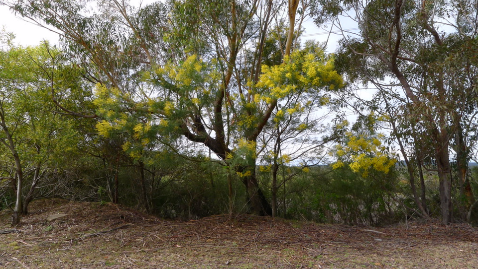
Native vs. Non-Native Forests 🌳
Hawaiian dry forests are rare and highly fragmented, but thanks to restoration projects, native vegetation is making a comeback. 🌿 Researchers used the Normalized Difference Vegetation Index (NDVI), a satellite-based tool, to track greenness in native dry forests, non-native grasslands, and restoration sites between 1999 and 2022.
Here’s what they found:
- Native dry forests are greening despite regional drying trends.
- Non-native forests (dominated by invasive species) are also getting greener, but this may not be good news for biodiversity. 😕
- Restoration sites are seeing improvements, especially in larger areas where native species have been reintroduced. These efforts are paying off in terms of increased greenness and plant diversity.
But while some sites show promising results, others are still vulnerable to wildfire and invasive species, creating a mixed picture. 🌾🔥
Keep Monitoring and Stay on Target 📊
The good news is that satellite data can be a powerful tool to guide restoration efforts. The researchers propose a couple of key strategies for improving long-term outcomes:
- Monitor More Sites, More Often: The Landsat time series provides a detailed, multi-seasonal view of how vegetation is responding to climate changes and restoration efforts. By continuing to monitor these trends, we can catch potential problems early and adjust management strategies. 🛰️
- Targeted Restoration: Not all areas are the same. Restoration projects need to focus on sites where native species have the best chance of success, while also managing invasive species that threaten recovery. By tracking changes in greenness, managers can prioritize which areas need more attention.
- Long-Term Support: Restoration doesn’t end with planting trees. Continuous monitoring—over decades—is essential to ensure that efforts are sustainable. 🌱
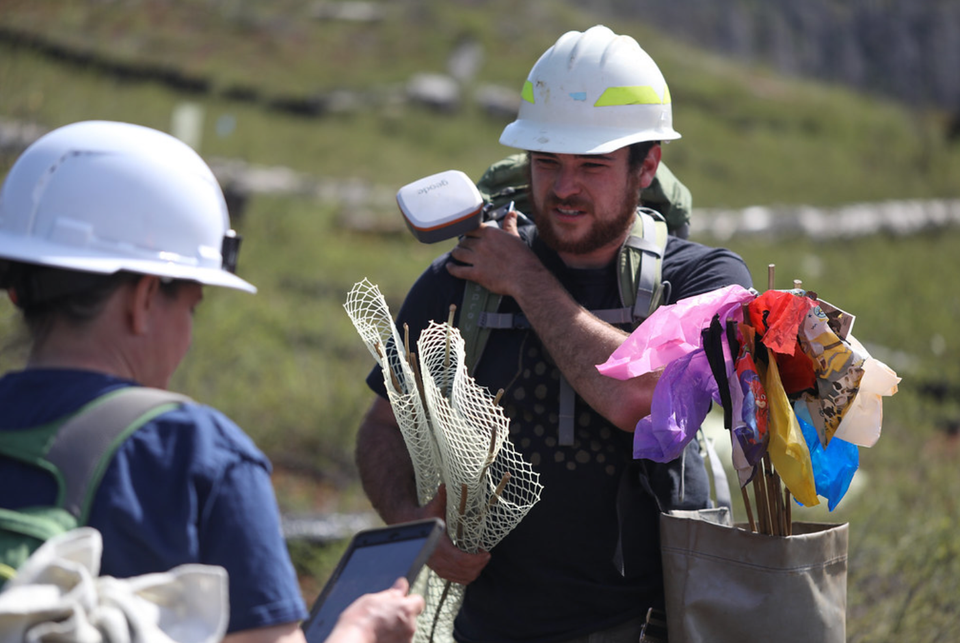
Ground-Truthing Satellites
The study talks about how on-the-ground data (in situ) is super useful for understanding what’s happening in forests. But they also point out that relying only on this data has its challenges:
- In Situ Data is Hard to Keep Up With: Going out to check the forest can be expensive and take a lot of time, and it’s not always done often enough to track changes over years. Sometimes researchers only collect data once, and that can miss out on what’s really going on over time. 🕒🌳
- Best of Both Worlds: The study suggests that combining satellite data and field data is the way to go. Satellites cover large areas and show trends, while in situ data gives you the detailed information on the ground. We can't rely solely on satellites yet- the authors write ""A critical shortcoming of our NDVI approach is that we cannot reliably distinguish native from non-native vegetation, which restricts the inferences that can be made about greening trends."🛰️👣
- Why Not Just Field Data?: Field monitoring is tough to do consistently, especially in places that are hard to reach. That’s why the study emphasizes how satellite data is a cost-effective way to keep an eye on things over the long term, while field surveys can fill in the important granular details. 🌍📊
In short, the study says using both satellite and in situ data is the best approach. Satellites give the big picture, and field data provides the detailed ground-level view. Together, they make forest monitoring more effective! 🌿
Open Data: A Global Blueprint 🌍
This study highlights the importance of monitoring to track reforestation efforts. Landsat imagery is free and openly accessible, making it an invaluable tool for monitoring changes in ecosystems worldwide. Whether in Hawaii or other tropical dry forests, using this kind of data helps ensure that restoration projects are moving in the right direction. 🌐
The open data supporting the study is avaialble at Dryad.
Citation
Dimson, M., Cavanaugh, K. C., von Allmen, E., Burney, D. A., Kawelo, K., Beachy, J., & Gillespie, T. W. (2024). Monitoring native, non-native, and restored tropical dry forest with Landsat: A case study from the Hawaiian Islands. Ecological Informatics, 83, 102821. https://doi.org/10.1016/j.ecoinf.2024.102821