Open Foris Whisp: A Game-Changer for Forest Monitoring 🌳💻
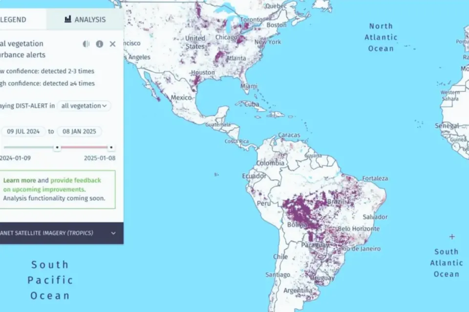
At its core, Whisp is like a forest detective armed with satellite maps, land-use data, and tree-cover analyses.
What Is Whisp, and Why Should You Care? 📡
At its core, Whisp is like a forest detective armed with satellite maps, land-use data, and tree-cover analyses, making it a powerful example of modern tree mapping software designed for practical land monitoring applications.
The tool lets users input specific land geometries into its API or user-friendly interface to access detailed stats about deforestation, agricultural activities, conservation zones, and more. It’s smart, it’s efficient, and it uses a Convergence of Evidence approach—fancy talk for combining multiple datasets to eliminate bias and make the info super accurate. Basically, Whisp is your go-to for land monitoring, minus the headaches of interpreting raw data.
Open-Source Awesomeness 🛠️
Here’s the kicker: Whisp is open source! That means anyone—from coding whizzes to community organizers—can inspect its Python-based code, tweak it, and even contribute new features. Whether you're a fan of Jupyter Notebooks or prefer direct API calls, Whisp has the flexibility to let you customize analyses for your unique needs. And yes, the code lives on GitHub because, of course, it does.
This transparency isn’t just for show—it’s a game-changer for empowering communities to use cutting-edge tech on their terms.
Supporting Communities, One Practice at a Time 🌍
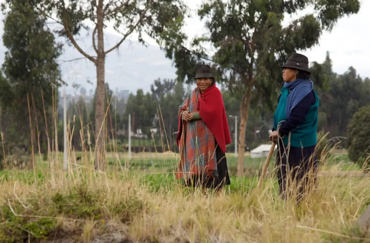
But Whisp is more than just pixels and Python. It’s part of a larger FAO initiative to champion Indigenous communities and smallholder farmers. The FAO also announced communities of practice—peer-learning networks spanning Africa, Latin America, and Asia—to help locals build capacity for forest monitoring and land mapping. Think workshops, shared knowledge, and collective action, all designed to make these tools accessible and impactful.
Platforms like LandMark, which focuses on protecting land rights and equitable resource management, will complement these efforts. Add in a new e-learning course from the UNDP, and you’ve got a recipe for empowering the very people on the frontlines of environmental protection.
Bridging Tech and Action 💡
Whisp isn’t just about crunching data—it’s about driving real-world change. By pairing cutting-edge digital tools with grassroots support, FAO and its partners are crafting a future where sustainable land management isn’t just an ideal—it’s a reality.
So, whether you’re fighting deforestation or planning better land use, Whisp offers the tools to turn your goals into action. The forest just got a powerful new ally—and it’s open for everyone. 🌱✨
Sources 📚
COP 16: New FAO Forest Monitoring Solution. FAO. October 25, 2024. Retrieved from https://www.fao.org/forestry/newsroom/news-detail/cop-16--new-fao-forest-monitoring-solution/en .
Whisp. Open Foris. Accessed November 17, 2024. Retrieved from https://openforis.org/solutions/whisp/ .
Edited by Chris Harris

This work is licensed under a
Creative Commons Attribution 4.0 International License.
