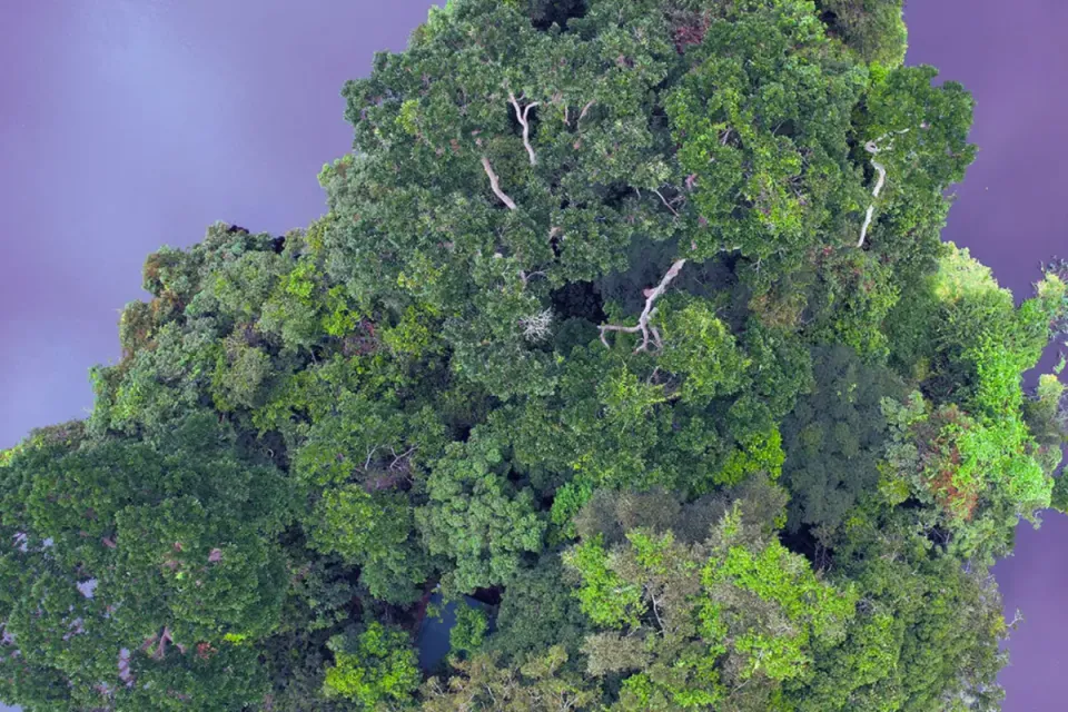
Mapping Deforestation: TreeMap’s Impact in Indonesia 🌍🌱
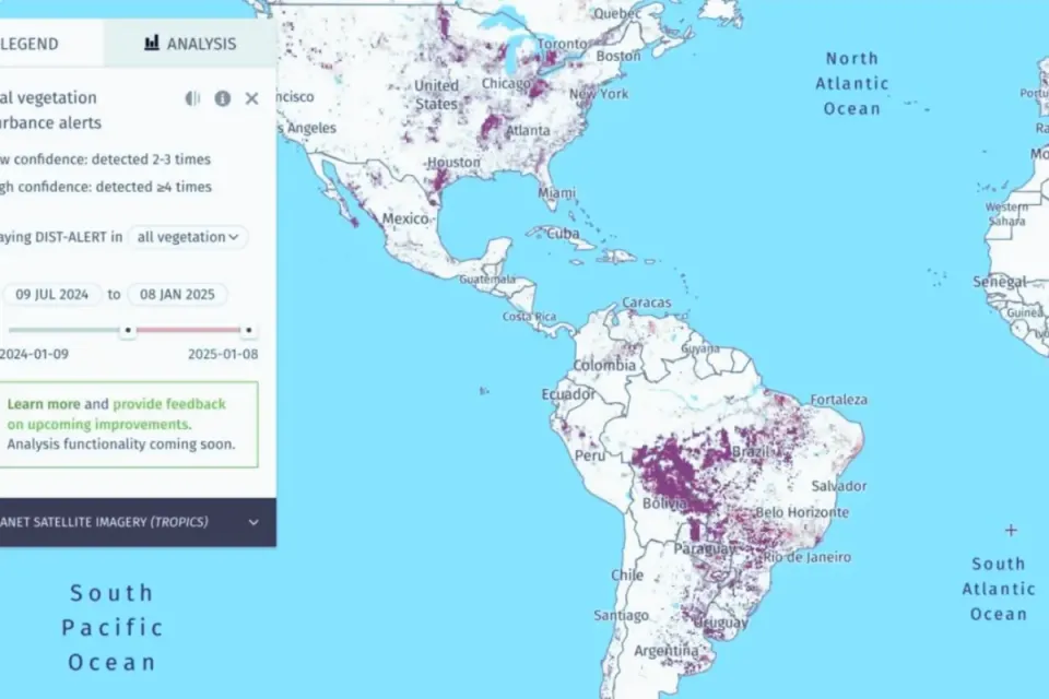
TreeMap is focused on Indonesia, where it leverages satellite data to track deforestation in real time.
Deforestation is a pressing issue in Indonesia, where some of the world’s most vital ecosystems face increasing threats from alleged illegal clearances and unsustainable land practices. TreeMap—a cutting-edge mapping platform developed by environmental scientists David Gaveau and Douglas Sheil—is using satellite technology and data science to protect these critical green zones. With high-resolution imagery and precise data, TreeMap has become an essential tool for conservationists, communities, and anyone invested in preserving Indonesia’s irreplaceable forests. 📊
Mapping Deforestation Risks Across Indonesia
TreeMap is focused on Indonesia, where it leverages satellite data to track deforestation in real time. And this is no vague approximation; TreeMap’s imagery is detailed enough to provide an accurate view of deforestation risks in even remote areas. For conservationists, this means a clearer understanding of what’s happening on the ground, empowering them to respond quickly and effectively. 🌲
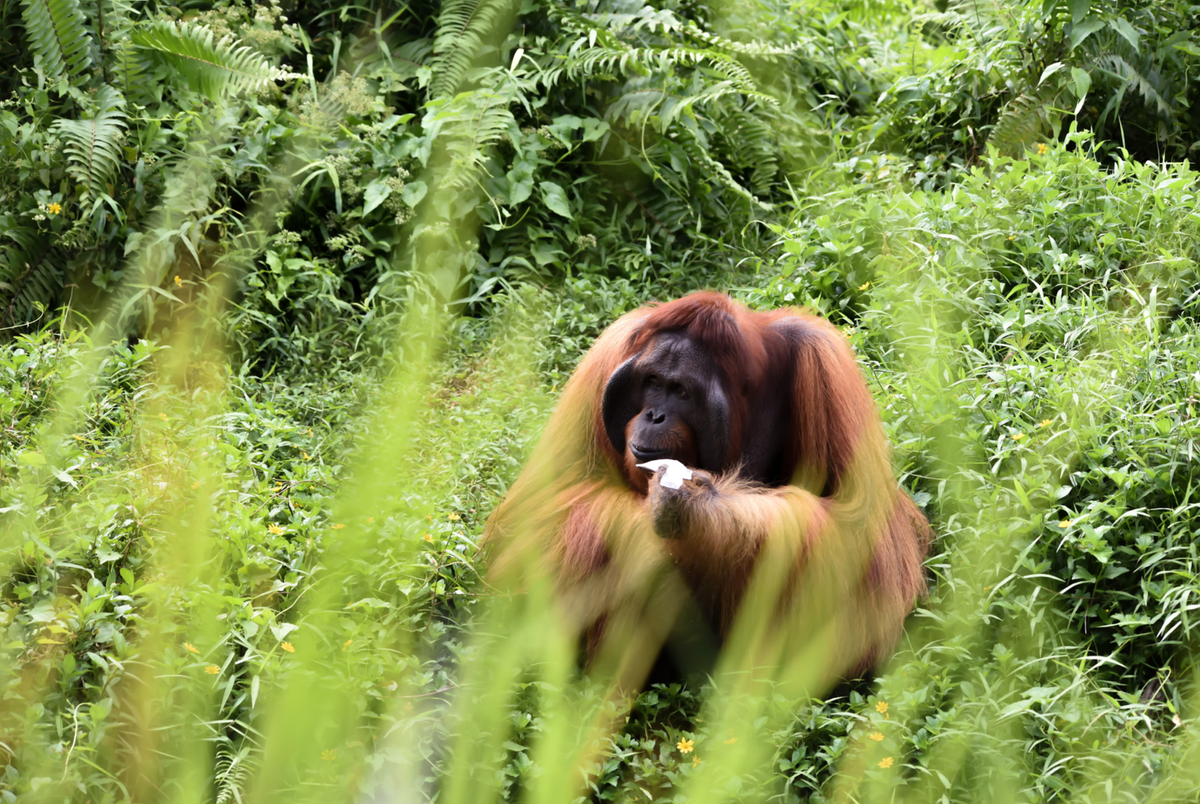
A key example of TreeMap’s impact is in the Rawa Singkil Wildlife Reserve in Sumatra, home to the critically endangered Sumatran orangutan. By mapping areas of likely illegal deforestation for palm oil, TreeMap enables conservation groups to act before more valuable habitat is lost, helping activists advocate for sustainable land use and better protections for endangered species. 🦧
Empowering Communities with Data
TreeMap’s reach goes beyond palm oil deforestation. They’ve created what might be Indonesia’s first 10-meter resolution mining map, covering a massive 721,000 hectares of forest affected by mining since 2001. This data gives local communities, such as the Hongana Manyawa tribe on Halmahera Island, a powerful tool to track land use, protect their homes, and advocate for sustainable practices. 📍
Creating Accountability in Infrastructure Development
TreeMap has also turned its focus to Indonesia’s Trans-Papua Highway, where infrastructure expansion has opened once-pristine forests to new threats. By documenting deforestation patterns linked to this highway, TreeMap provides activists with a neutral, independent data source to advocate for balanced development and protect forest ecosystems. 🌐
TreeMap’s Vision for Conservation Action
TreeMap might be powered by data science, but it’s proving that something as “nerdy” as algorithms and pixels can achieve genuinely heroic things. With the expertise of Gaveau and Sheil, TreeMap is transforming conservation from a passive cause into a proactive movement. By delivering precise, accessible data, TreeMap arms advocates, local communities, and the public with the knowledge they need to protect Indonesia’s forests. 🌏💪
Sources 📚
Satellite images show deforestation toll of mining in Indonesia. The Jakarta Post. (2024, July 5). https://www.thejakartapost.com/indonesia/2024/07/05/satellite-images-show-deforestation-toll-of-mining-in-indonesia.html
Indonesia’s mining crossroads: New map unveils opportunities for environmental monitoring. Nusantara Atlas. https://nusantara-atlas.org/indonesias-mining-crossroads-new-map-unveils-opportunities-for-environmental-monitoring/
Illegal deforestation exposed in Indonesia’s prime biodiversity hotspot. Nusantara Atlas. https://nusantara-atlas.org/illegal-deforestation-exposed-in-indonesias-prime-biodiversity-hotspot/
RAN unveils alarming findings on illegal deforestation in Indonesia’s Rawa Singkil Wildlife Reserve using unprecedented satellite imagery. Rainforest Action Network. https://www.ran.org/press-releases/ran-unveils-alarming-findings-on-illegal-deforestation-in-indonesias-rawa-singkil-wildlife-reserve-using-unprecedented-satellite-imagery/
DiGirolamo, M. (2022, March 2). Podcast: The Trans-Papua Highway could lose billions and deforest millions of hectares. Mongabay Explores Podcast. https://news.mongabay.com/podcast/podcast-the-trans-papua-highway-could-lose-billions-and-deforest-millions-of-hectares/
Edited by Chris Harris

This work is licensed under a
Creative Commons Attribution 4.0 International License.
