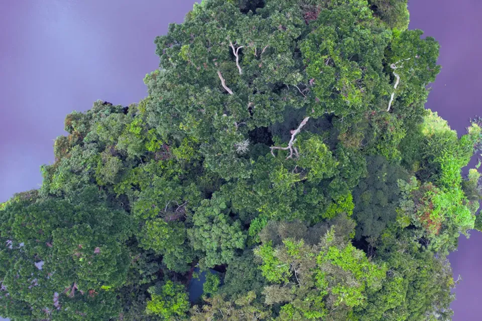
i-Mangrove: Indonesia’s Open-Source Restoration Platform 🌐
Thanks to i-Mangrove’s precise mapping, we know where restoration efforts will count the most.
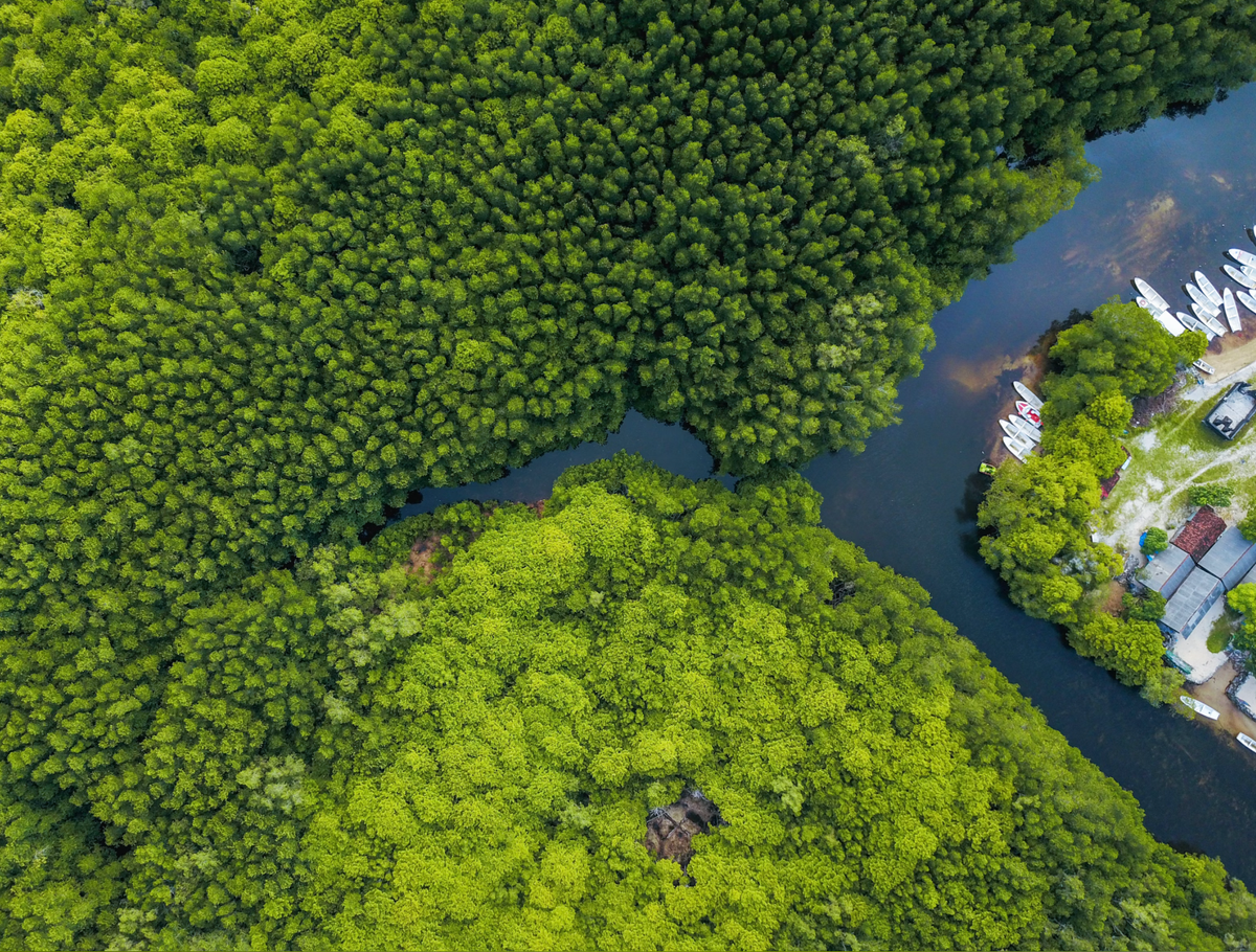
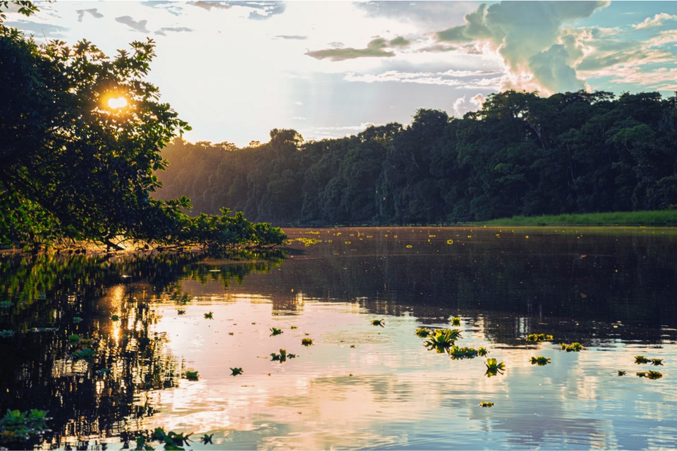
Mangroves 🌿 the unsung heroes of our coastlines. They keep shores from washing away, offer prime real estate for wildlife, and are all-star carbon storage machines. These green warriors can hold up to four times more carbon per hectare than tropical rainforests, making them crucial allies in our climate battle⚔️🌡️ Besides, they’re natural buffers against erosion, tame storm surges, and filter out water pollutants like it’s their job—which, well, it is, as detailed by the FAO.
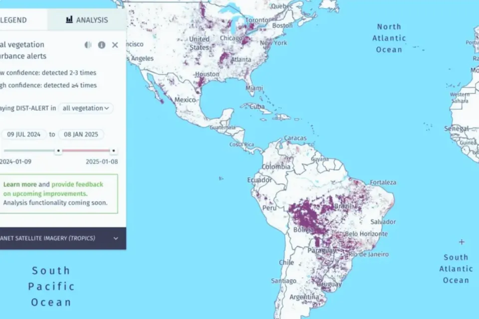
Meet i-Mangrove—Indonesia’s latest open-source tool for spotting prime mangrove restoration areas. Designed by Sigit Deni Sasmito from James Cook University’s TropWATER and CIFOR-ICRAF researchers Daniel Murdiyarso, Trialaksita Ardhani and and Age Kridalaksana (an Indonesia-based independent researcher) as outlined in the official flyer, i-Mangrove runs on Google Earth Engine to deliver high-resolution spatial data on mangrove loss and restoration potential across Indonesia. And here’s the best part: it’s free and open for anyone to use. No paywalls, no licenses—just powerful data at everyone’s fingertips. 📊🖥️
Now for the numbers 📈: Indonesia has lost roughly 285,997 hectares of mangroves since 2001. Thanks to i-Mangrove’s precise mapping, we know where restoration efforts will count the most. The tool identifies 11,440 hectares as high-potential, 46,974 hectares as medium, and 227,582 hectares as low-potential for restoration, according to CIFOR's report. This means policymakers and conservationists can direct their efforts where they’ll have the most impact—whether for biodiversity or carbon storage. 🦋🐢
i-Mangrove doesn’t just stop at mapping. 🎛️ It’s packed with interactive features that allow users to create custom project boundaries, monitor shifts in mangrove cover, and access detailed hydro-geomorphic data (that’s “landscape-water interaction” for the non-scientists 🧪) to support sustainable projects. This isn’t just another data dump; it’s a purpose-built tool to help Indonesia meet its FOLU Net Sink 2030 climate goals and bolster its status as a leader in blue carbon initiatives.
The takeaway? i-Mangrove combines open-access tech with real-world environmental targets, empowering everyone—from local communities to policymakers—to get involved in restoring these coastal powerhouses. Mangroves might be quiet heroes, but thanks to i-Mangrove, they’re getting the attention they deserve.🌱
