Open Geospatial Data Slashes Forestry Costs by 60% 🛰️💸
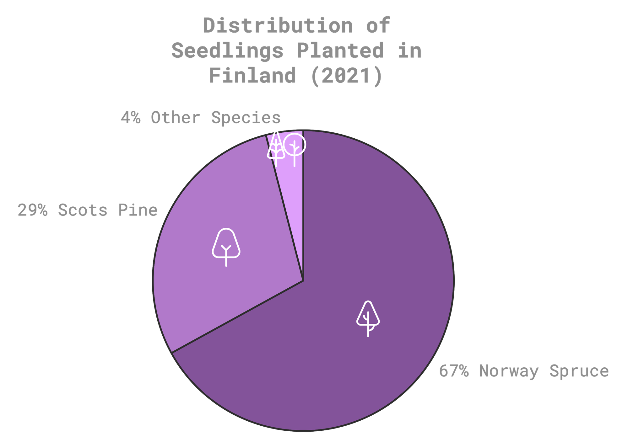
Monocultures still dominate Nordic forestry—67% of seedlings in Finland are Norway spruce.
Open Data Just Gave Forest Management a Glow-Up
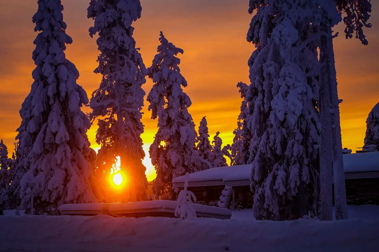
Imagine saving thousands of euros while building forests that tackle climate change like pros. That’s what Finnish researchers are doing. By harnessing the power of open geospatial data, they’re transforming forestry in southern and central Finland. This isn’t just about planting trees—it’s about creating resilient, biodiverse forests that work smarter, not harder.
Why This Matters: More Diversity, Less Risk 🌱
Monocultures still dominate Nordic forestry—67% of seedlings in Finland are Norway spruce. While spruce is reliable, relying too heavily on a single species is risky in the face of climate change and pests. This study shows how mixed forests featuring species like silver birch and Scots pine can offer a resilient, biodiversity-friendly alternative. 🌿
Actionable Insights: Precision Forestry in Action 🌍
Plan with Precision 🗺️: Geospatial data helps match tree species to their perfect conditions—like a matchmaking app for forests, but less awkward.
Future-Proof Forests 🌡️: Mixed-species planting is the ultimate insurance policy against droughts, pests, and climate surprises.
Save Money, Save Forests 💰: Geospatial data slashes site assessment costs by 60% and reduces replanting expenses by 30%.
The Numbers Speak for Themselves: Open Data’s Impact 📌
Survival Rates:
- Norway spruce: 96% survival, thriving under a range of conditions.
- Scots pine: 93% survival, though performance varies based on soil type.
- Silver birch: 90% survival, with crown damage bumping up mortality slightly.
Height Growth:
- Silver birch: 🚀 Averaging 25.8 cm/year, with some overachievers hitting 47.5 cm.
- Norway spruce: 🐢 Steady at 10.3 cm/year, consistent across soil types.
- Scots pine: 🐌 9.0 cm/year, with growth tied closely to soil conditions.
Cost Efficiency: Site assessments: 60% cheaper with geospatial data. Replanting: Costs drop by 30%. 10,000-hectare projects saved €50,000–€75,000 in two years. 💸
The Takeaway: Mixed Forests Are the Future 🌳
This study proves that leaning too heavily on one tree species is risky business. By embracing geospatial data and focusing on diverse forests, Finnish foresters are paving the way for a smarter, more sustainable future. Mixed forests not only tackle climate change head-on but also boost biodiversity and protect against economic losses.
So, whether you’re a policymaker, a forester, or just someone who loves hugging trees, this is your sign to go all-in on smarter, data-driven forest management. 🌍
Source 📚
Miina, J., Salmivaara, A., Uotila, K., Luoranen, J., & Huuskonen, S. (2024). Open geospatial data can predict the early field performance of Scots pine, Norway spruce and silver birch seedlings in Nordic boreal forests. Scandinavian Journal of Forest Research, 39(5), 232–247. https://doi.org/10.1080/02827581.2024.2390910. Retrieved from https://www.tandfonline.com/doi/full/10.1080/02827581.2024.2390910#abstract .
Edited by Chris Harris

This work is licensed under a
Creative Commons Attribution 4.0 International License.
