Ground-Truthed Data Doubles Performance on Sequestration Models 🌱
The study’s results emphasize the need to use locally calibrated models to predict carbon capture more accurately.
Introduction
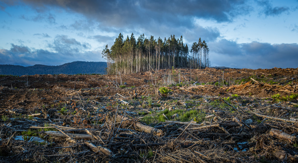
Australia’s woodlands have suffered extensive clearing over the last two centuries, leading to urgent need restoration efforts - i.e. planting a huge number of trees. 🌿 A recent study by Kramer et. al. (2024) compares two computational models (essentially, a calcualtor) for predicting carbon sequestration—FastTrack and FullCAM—to support restoration decisions. This study shows that when it comes to predicting how much carbon reforested areas can soak up, using local data gives way better results—helping us make smarter, greener choices.💪🌱
Forest Restoration as a Climate Solution 🌍
Woodland restoration isn't just about planting trees—it’s about capturing carbon, restoring biodiversity, and reversing years of degradation. 🌍🌿 The governemnt of Australia wants to up production in the coutnry by one billion trees in the coming years. Civil society organizations have advocated for even more ambitious targets - the WWF hopes to plant two billion trees in Australia by 2030.
As Australia, a biodiversity hotspot, faces the double challenge of habitat loss and climate change, accurate predictions of carbon sequestration become essential, especially amid concerns about carbon sequestration projects in Australain forestry. This study steps in to help carbon markets, governments, and environmental groups make data-driven decisions, ensuring that restoration efforts pay off both for the planet and the economy.💰
Comparing Two Carbon Models 🌳📊
The study focused on two models: the Intergovernmental Panel on Climate Change’s (IPCC) Tier 2 approach, called the FastTrack model, and Australia’s FullCAM model, used for national carbon accounting. Here's a breakdown of the findings:
- FastTrack (IPCC Tier 2): This model was found to have a slight positive bias, overestimating carbon capture by about 4.2% of the actual observed values.
- FullCAM: This model underestimated carbon capture, showing a bias of -42.9%, meaning it predicted significantly lower carbon sequestration than what was observed in the field.
Imagine you’re trying to estimate how much water a sponge can soak up, but you’re using two different measuring tools.💧 One tool (FastTrack) is fairly accurate, though it tends to slightly overestimate—by around 4%. The other tool (FullCAM) significantly underestimates the amount, by almost 43%.
For planting trees, this means that using detailed local information—like knowing how dense or large the "sponge" is—results in a more precise measurement. By conducting more on-site observations (such as counting the number of trees and monitoring their growth), you can better ensure that the 'sponge' (the forest) captures as much 'water' (carbon) as expected. This approach leads to more informed decisions that benefit both the planting project and the environment.💡 🌲
Interestingly, both models displayed varying biases depending on the tree planting methods (direct seeding vs. tubestock planting). FastTrack was generally more accurate but could still benefit from additional adjustments, particularly incorporating satellite data for better canopy cover estimation. 🛰️
Accurate Carbon Forecasting for Better Policy 📈🌳
The study’s results emphasize the need to use locally calibrated models to predict carbon capture more accurately. For restoration projects, this means calibrating the models with data specific to the planting configuration and local conditions.
Actionable steps based on the study include:
- Refining canopy data with satellite images to improve projections.
- Tailoring carbon models to specific restoration projects, ensuring accurate site-level predictions.
Such data-driven approaches ensure that restoration efforts are efficient and aligned with Australia’s carbon reduction commitments. 🌏🌿
Open Data & Code 📂🖥️
The research highlights the importance of transparency and accessibility of environmental data. By using open platforms, governments and organizations can collaborate more effectively on woodland restoration projects. Both the FastTrack and FullCAM models can benefit from community-driven improvements, like better satellite data integration and localized parameter adjustments.
Supplementary data can be found at MDPI.
Study Citation
Kramer K, Bennett LT, Borelle R, Byrne P, Dettman P, England JR, Heida H, Galama Y, Haas J, van der Heijden M, et al. Site-Level Modelling Comparison of Carbon Capture by Mixed-Species Forest and Woodland Reforestation in Australia. Forests. 2024; 15(6):990. https://doi.org/10.3390/f15060990