New Satellite Initiatives to Boost Global Wildlife Protection
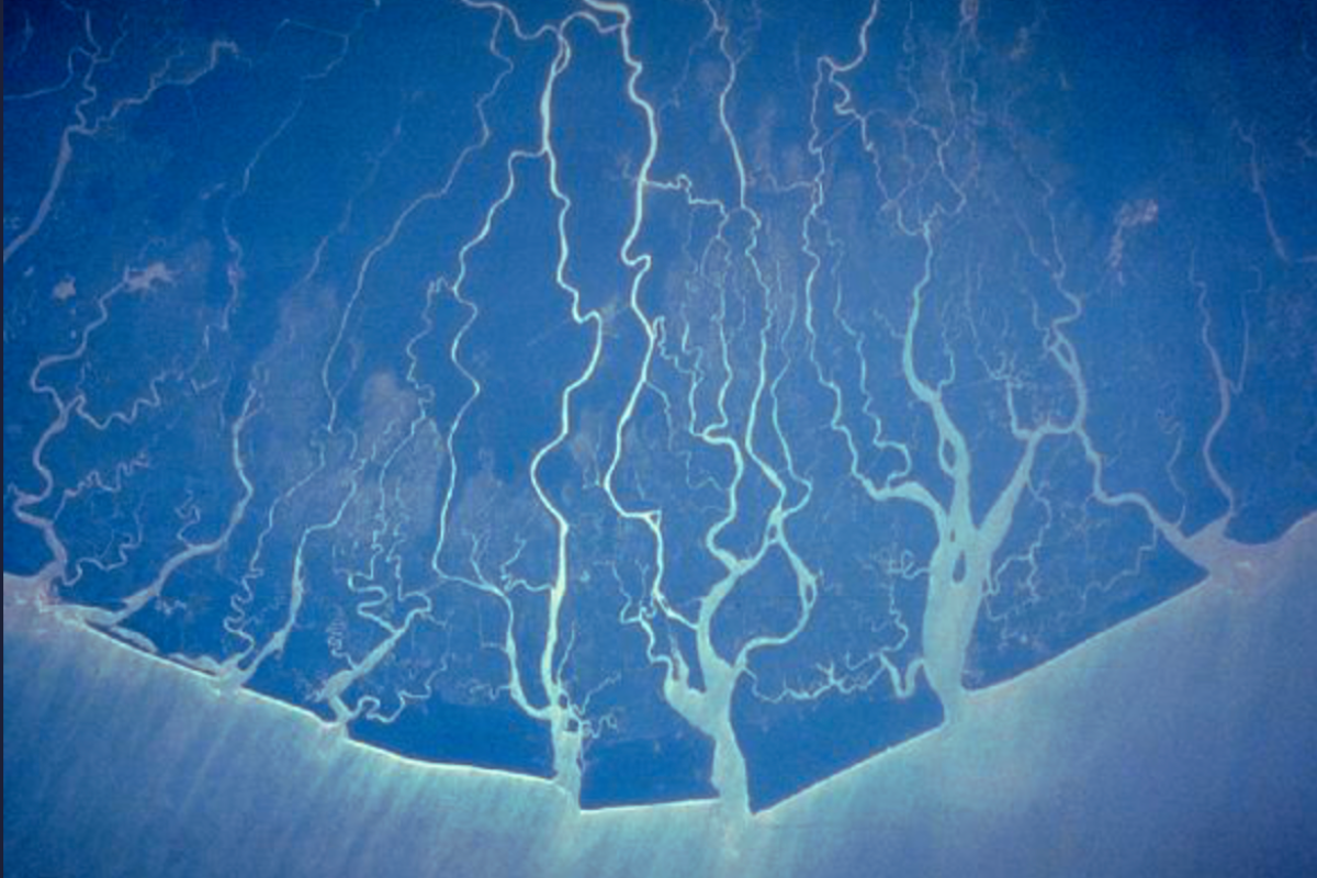
Global conservation efforts will receive a much-needed boost with the recent launch of two initiatives involving the use of satellite data.
This article by Kristine Sabillo originally appeared in Mongabay.
Global conservation efforts will receive a much-needed boost with the recent launch of two initiatives involving the use of satellite data.
The Airbus Foundation and the Connected Conservation Foundation (CCF) recently opened a third round of applications for their Satellites for Biodiversity Award, which now offers access to finer-resolution satellite imagery to help protect habitats and threatened species.
At the same time, Planet Labs’ Project Centinela will be sharing high-resolution satellite imagery and analytics with scientists and conservationists to safeguard some of the world’s most at-risk biodiversity hotspots. Project Centinela will launch with eight sites and expand to 50 in the next three years.
The Satellite for Biodiversity Award will be looking for innovative proposals to use space technology and machine learning to combat wildlife loss, foster human-wildlife coexistence, influence sustainable land-use practices, and shape conservation policy.
Three winning projects will get access to Airbus’s Pléiades and Pléiades Neo satellites to track and monitor their projects at up to 15 centimeters (6 inches) of high-definition resolution. They will also receive $6,000 in funding, mentoring from CCF, and access to geographic information system software to conduct advanced mapping, visualization and analysis.
“CCF and the Airbus Foundation have been working with [past] winners from across the globe – ranging from South Sudan to Thailand to Papua New Guinea to help them access high-resolution satellite imagery, to meet their current objectives and provide a detailed baseline of their conservation area,” Sophie Maxwell, executive director of CCF, told Mongabay in an email.
Past winners of the award have used satellite technology to identify risks faced by Asian elephants (Elephas maximus) in Thailand and mitigate the risk of pangolin (Manis gigantea) electrocution in Kenya.
Hania Tabet, Airbus head of social value and foundation director, said in a statement that the award enables participants to “leverage relevant data, tools, technologies and training for positive social and environmental impact. Through the Satellites for Biodiversity award, we strive to support projects acting for the protection of endangered species and their habitats.”
Responding to the announcement from Planet Labs, which has previously partnered with Airbus, Maxwell told Mongabay, “We’re encouraged to see more satellite providers recognizing the urgent need to harness their technologies in addressing the biodiversity and climate crisis. Reaching global targets, like protecting 30% of the planet by 2030, requires every resource at our disposal.”
But with more than 200,000 protected areas worldwide, Maxwell said more needs to be done to reach that 30 by 30 goal. “Contributions from all satellite data providers like Airbus, and Planet, are vital in providing the monitoring tools necessary for safeguarding our planet’s health. We are excited to see this movement grow, to get the critical data, and capabilities to the communities, policymakers and enforcement partners who can drive large-scale, lasting change.”
License
Sabillo, K. (2024). Two new initiatives provide cutting-edge satellite images for conservation. Mongabay. Republished under a Creative Commons Attribution-NoDerivatives 4.0 International License