Miombo Woodlands: The Surprising Carbon Giants 🌳💡
Using cutting-edge lidar technology, scientists have discovered that these forests hold far more carbon than we previously thought!
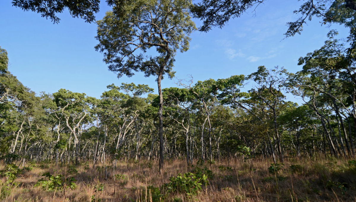
Rethinking Miombo’s Carbon Role 🌍
Miombo woodlands, the sprawling dry forests of southern Africa, have always been known for their role in supporting biodiversity and local communities. But new research from Dimol et. al. (2024) suggests they may also be unsung heroes in the fight against climate change. Using cutting-edge lidar technology, scientists have discovered that these forests hold far more carbon than we previously thought—up to 2.2 times more! 📈
Why Are Miombo Woodlands So Important? 🌳
Miombo woodlands span 2 million square kilometers across central and southern Africa, providing essential ecosystem services like carbon storage, climate regulation, and soil erosion control. They support the Zambezi Basin, a crucial water source, and are home to diverse plant and animal species. These forests play a key role in combating climate change by sequestering carbon, helping stabilize the region's climate.
Beyond their environmental value, miombo woodlands are a lifeline for over 100 million people who depend on them for fuel, food, and medicinal plants. However, widespread use of wood for charcoal—an essential energy source—drives significant deforestation. To address this, nine countries have joined forces under the Miombo Initiative, aiming to protect these forests while ensuring sustainable use for future generations.
Unveiling Carbon Secrets: What Lidar Taught Us About Miombo’s True Potential 🚁🌲
Traditionally, measuring the carbon stored in forests relied on estimates and models that sometimes miss the mark, especially when it comes to larger trees. But this study took a different approach: researchers used a combination of terrestrial and airborne lidar—a type of laser scanning technology that maps the forest in 3D. Imagine a virtual X-ray of the forest! 🤖 This method was applied over 50,000 hectares in and around Gilé National Park, Mozambique, covering areas from dense forest to clearings.
The results? The lidar data revealed that these woodlands store an estimated 1.71 ± 0.09 teragrams of carbon—more than double some earlier estimates. 🌿 That’s a big deal, as it means miombo woodlands could be a much bigger carbon sink than we thought. Extrapolating this to all miombo woodlands across Africa could mean an additional 3.7 petagrams of carbon—enough to significantly influence our global carbon balance.
What These Numbers Mean for Policy and Climate Action 🌡️
Getting carbon estimates right is critical for climate policy. 🌱 If we’re underestimating how much carbon these forests hold, we might also be undervaluing their role in mitigating climate change. This can affect decisions on funding for conservation, forest protection programs like REDD+, and even how countries calculate their contributions to global climate targets like the Paris Agreement. It also means that protecting these woodlands could provide even more bang for the buck in terms of carbon storage, adding weight to the argument for stronger conservation efforts. 💪
From Data to Action: Using Lidar Insights to Drive Forest Conservation 📊
This study shows that new technologies can improve our understanding of nature’s hidden assets. By embracing lidar and other remote sensing tools, we can get a clearer picture of what’s really happening in our forests. 🌳 Imagine being able to map carbon storage accurately for conservation projects or using this data to improve carbon credits, making these projects more appealing for investors. It’s a win-win for the environment and local communities!
The researchers also suggest that lidar methods could complement traditional tree measurement methods, helping to fine-tune estimates where they matter most—like capturing the true carbon value of those big, old trees. 🌲
Open Data & Code: Sharing the Knowledge 🖥️🔍
The data from this study isn’t locked away in a vault—it’s openly accessible. The researchers have made their lidar datasets available online, allowing other scientists, conservationists, and even policymakers to tap into this wealth of information. Open data means more opportunities for collaboration and innovation in the fight against climate change! 🌐
Geospatial data is available at https://doi.org/10.5281/zenodo.11072918.
Code is available at https://github.com/SKrisanski/FSCT, https://github.com/InverseTampere/TreeQSM, https://github.com/r-lidar/lidR, and https://github.com/dmlc/xgboost.

