Forest Carbon Monitoring Tool Aims to Use AI
Planet aims to fill this gap with the Forest Carbon Monitoring tool.
This article by Abishyant Kindagoor was originally published in Mongabay.
- A newly launched tool combines satellite images, lidar data and artificial intelligence to estimate carbon stored in forests around the world.
- The Forest Carbon Monitoring tool, developed by Earth-imaging company Planet, trained an AI model using the organization’s archival satellite data and globally available lidar data.
- The model is now being used in conservation efforts as well as in the voluntary carbon market.
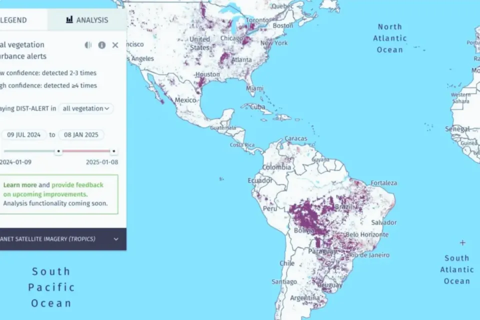
Satellite data have long told us where forests are and how they’re faring. Lidar, laser-based radar mounted on planes or satellites like the International Space Station, has helped us map forests in 3D.
A newly launched tool has now thrown artificial intelligence into the mix.
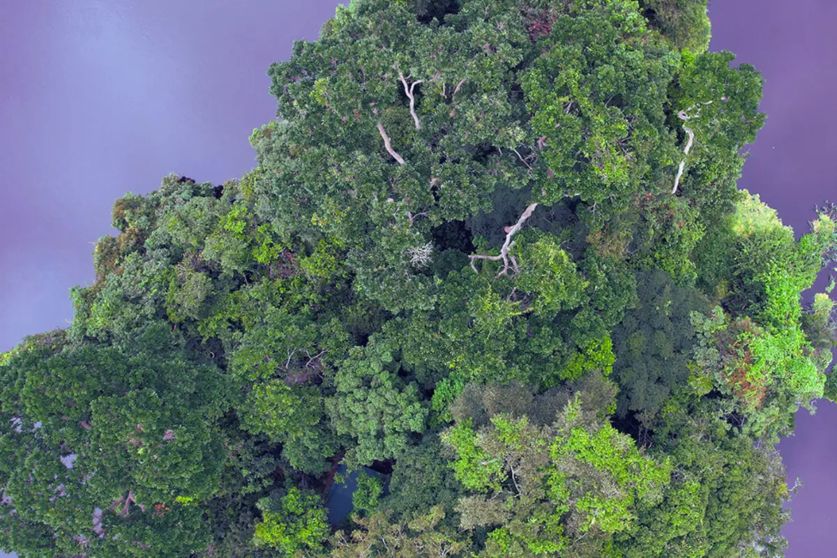
Earth-imaging company Planet has combined data from its vast constellation of satellites with globally available lidar data to build an AI-powered tool that can estimate where and how carbon is stored in remote and inaccessible forests around the world. In quarterly data sets that have a resolution as fine as 3 meters (10 feet), the Forest Carbon Monitoring tool estimates aboveground carbon, tree height, and canopy cover of forests.
“It will help us understand aspects of the forest that might not be initially accessible to the naked eye,” Andrew Zolli, chief impact officer at Planet, told Mongabay in a video interview.
While satellite images have helped scientists, conservationists and enforcement agencies track how forest cover changes over time, they can’t tell how much carbon a forest stores. Understanding that requires mapping the forest in 3D and measuring aboveground biomass. Lidar sensors that emit laser beams have long played an important role in calculating this. Scientists observe the time it takes for the light to reflect off trees, leaves and branches, and use that to calculate the dimensions of trees. Lidar data, especially from NASA’s GEDI mission that’s deployed on the ISS and maps forests from space, have been crucial to understanding forest biomass in the Amazon Rainforest and studying how changes in forest structure could impact biodiversity. However, lidar data aren’t extensive and are often focused only on specific areas of interest, leading to voids in data in many locations around the world.
Planet aims to fill this gap with the Forest Carbon Monitoring tool.
The team that developed the tool tapped into the organization’s archival satellite data and GEDI’s lidar data as well as other airborne lidar missions. They trained the machine-learning model on locations for which there was satellite as well as lidar data. Once the model was fed the training data, it was trained to extrapolate and estimate data on carbon in places where satellite images existed but lidar data didn’t. “That allowed us to build high-quality inferred assessments of what a lidar would have told us if we had it over larger areas of Earth,” Zolli said.
Zolli said the first set of data produced with the help of the tool has already revealed surprises.
While deforestation and forest degradation have driven massive loss of carbon stocks in the Amazon Rainforest, the tool found that there are other places where carbon remains untouched, underscoring the necessity to enforce policies and conservation efforts to protect them. “There’s a cap in the northern Amazon where we found high forest carbon density,” he said. “What really resonated with me is the understanding of where we have extant forest carbon stocks which we must absolutely protect.”
The data from the tool will also be incorporated into Project Centinela, a recently launched initiative by Planet that aims to make technology accessible to organizations working in biodiversity hotspots. Zolli highlighted Gombe Stream National Park in Tanzania, one of Planet’s partners in the project, where the data on carbon will likely be used to understand how fires are impacting the habitats of endangered chimpanzees.
Data from the tool are also being used by Be Zero, a U.K.-based carbon credit ratings agency, to enhance its monitoring and verification methodology for carbon projects around the world. Zolli said the tool could find immense application in the voluntary carbon market, which has faced criticism over lack of accountability and transparency. “The data gives a shared, common picture of what’s actually happening on the ground,” he said. “It will hopefully help make carbon projects more trusted and rigorous.”
Zolli attributed the development of the Forest Carbon Monitoring tool to the availability of massive historical data sets, rapid advances in artificial intelligence techniques, and cloud infrastructure that facilitates complicated computing.
“We are the first generation that has had all three in place,” Zolli said. “That makes it easier to tell the forest carbon structure in the Amazon or in Indonesia or in any place in sub-Saharan Africa or the boreal forests of Canada, and do so with speed and with scientific confidence.”
Abhishyant Kidangoor is a staff writer at Mongabay. Find him on 𝕏 @AbhishyantPK.
License
Kidangoor, Abhishyant. "Satellites and lidar get AI boost to count forest carbon stock worldwide." Originally published on Mongabay, December 9, 2024. Republished under a Creative Commons Attribution-NoDerivatives 4.0 InternationalLicense.
